 Our Expertise
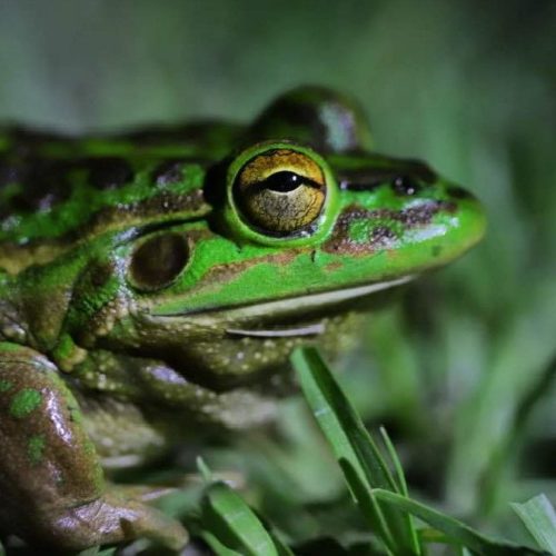
Our Ecology Services Include:
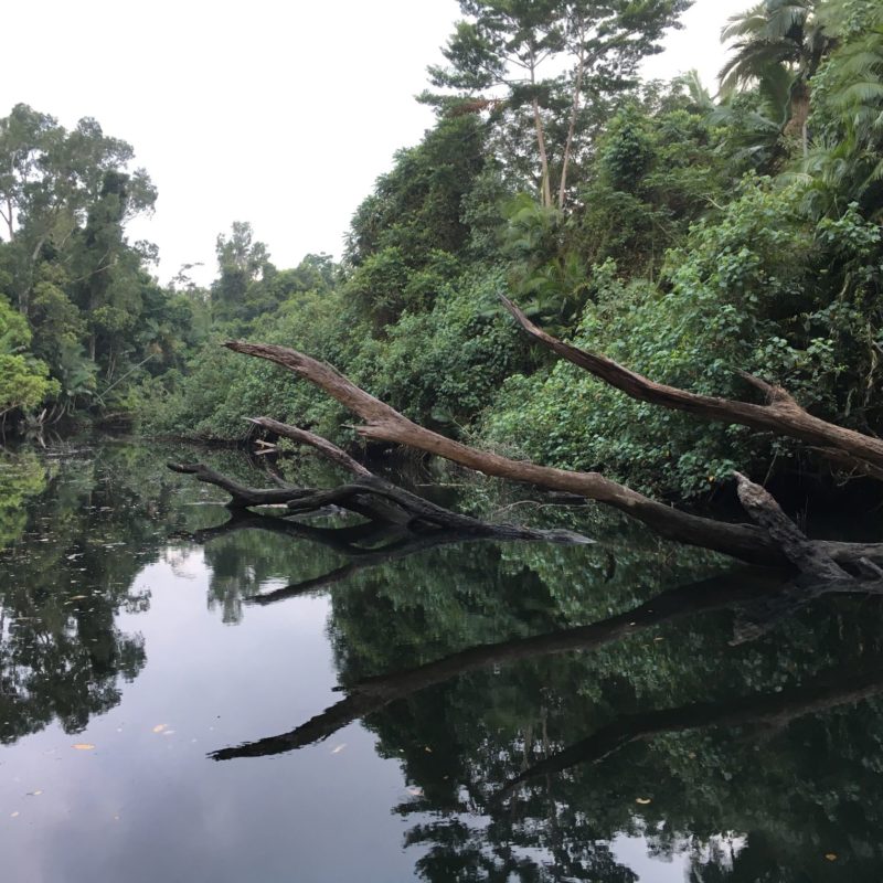
Aquatic Ecology Assessments
- Comprehensive studies of marine and freshwater ecosystems.
- Macroinvertebrate monitoring for river health assessments and ecological baseline studies.
- Conducting toxicity assessments to evaluate environmental risks to aquatic organisms.
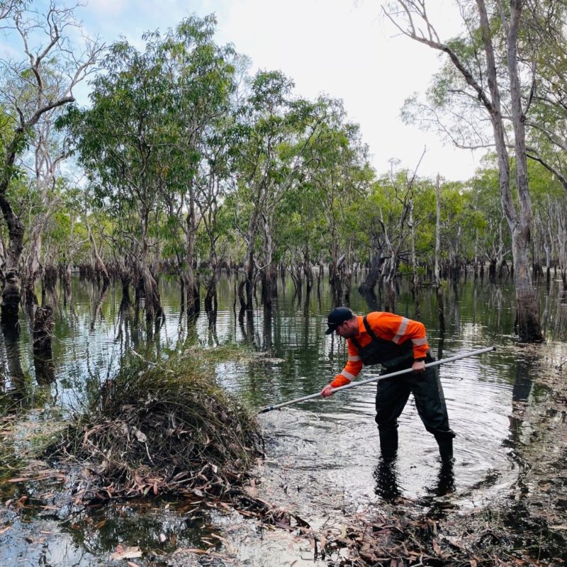
- Fish relocation and salvage programs to protect species during development projects.
- Receiving environment monitoring programs (REMPs) to track and mitigate impacts on aquatic habitats.
- Detailed fish passage and waterway barrier assessments to maintain ecological connectivity.
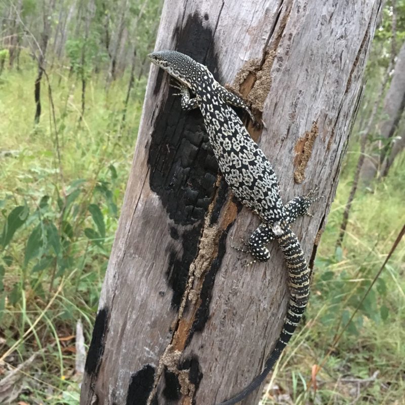
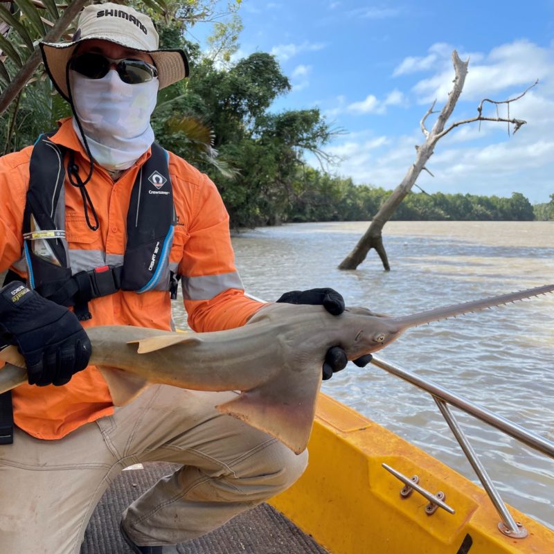
- Specialised surveys for listed aquatic species (including fish, elasmobranchs, mammals and reptiles), ensuring their protection and habitat conservation.
- Full aquatic ecology impact assessments for environmental approvals.
Terrestrial Ecology Assessments
- Flora and fauna impact assessments to evaluate the effects of development on ecosystems.
- Long-term flora and fauna monitoring surveys to understand population trends and habitat use.
- Regulated vegetation surveys and assessments (regional ecosystem [RE] and property map of assessable vegetation [PMAV]).
- Vegetation health monitoring programs to assess ecosystem BioCondition.
- High-resolution vegetation surveys using drones equipped with multispectral cameras.
Threatened Species Management
- Targeted surveys and likelihood of occurrence assessments for listed species.
- Development of tailored management and monitoring programs for aquatic and terrestrial threatened species.
- Evaluating significant residual impacts to ensure projects align with conservation priorities.
Rehabilitation Planning and Monitoring
- Rehabilitation Criteria: Designing post-mining land uses for disturbed areas while establishing clear rehabilitation success criteria to ensure the land is fit for purpose
- Rehabilitation Monitoring: Measuring key indicators to ensure that rehabilitation aligns with the designated post-mining land use while maintaining a safe, stable, and non-polluting environment
- Soil Investigations: Assessing soil quality and quantity to determine its suitability for rehabilitation efforts, ensuring it supports desired vegetation ecosystems.
- Revegetation Plans: Creating detailed plans documenting key flora species and their densities to meet post-mining land use objectives.
- Landform Assessments: Evaluating proposed landforms to ensure compliance with post-mining land-use, environmental safety, and integration with the surrounding environment.
- Vegetation Cover Monitoring: Using drone technology and normalised difference vegetation index (NDVI) imagery to quantitatively monitor vegetation health and percent cover, providing actionable insights to track rehabilitation success.
Our team of ecologists combines scientific expertise with cutting-edge technology to deliver actionable, data-driven insights. Whether it’s conserving biodiversity, restoring habitats or complying with stringent environmental regulations, we offer the comprehensive ecological solutions you need to achieve sustainable outcomes.
Your Reliable Partner in Environmental Consultancy
Townsville Office
188 Ross River Road, Aitkenvale, Townsville Qld 4814
PO Box 1777, Thuringowa Central Qld 4817
+61 (0) 7 4725 3751
info@candrconsulting.com.au


C&R Consulting
Geochemical & Hydrobiological Solutions Pty Ltd
ABN 72 077 518 784