Extreme Events
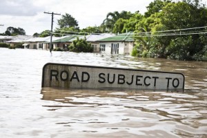
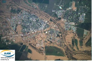
 Following an analysis of the causes and effects of the January 2008 rainfall and flood event in central Queensland, C&R Consulting (C&R) became aware of the systemic lack of consistency in the assessment of rainfall intensity and duration patterns of the seasonally arid tropics. This largely represents major discrepancies between both modelled data and empirical records, and the paucity of long-term rainfall records in comparison with the temperate regions of Australia. The most pressing outcome of this lack of consistency is its impact on the measurement of extreme rainfall events and definition of appropriate risk mitigation measures for such events.
“C&R operate under the premise that extreme rainfall events can be better managed through historical assessment, notice, preparation and monitoring.”
C&R believe nothing exists in isolation, either in time or space. Ecosystems are inter-related and dependent on the physical environments (e.g. geomorphology, soil characteristics, geology and hydrology) in which they exist.
 Our solutions to environmental problems are based on GeoMimicry, working with, rather than against the landscape, promoting solutions that are favourable to both the physical environment and the infrastructure that is essential to the efficient management of the industrial, agricultural and social network existing within that environment.
C&R can offer services for:
- Chemistry
- Water quality testing
- Water quality monitoring
- Water chemistry
- Soil chemistry
- Nutrient chemistry (including cycling)
- Groundwater chemistry (including saline water)
- Mineral chemistry
- Forensic chemistry
- Chemical modelling and contaminant fate transport
- Environmental legislation and compliance
- Catchment assessments
- Catchment response plans
- Geology and hydrogeology
- Forensic geomorphic analysis to establish historic evidence for extreme flow events within the catchments
- Groundwater assessment
- Baseflow estimation
- Hydrology
- Whole-of-catchment assessments (urban and rural)
- Identification of event size over the whole catchment
- Identification of transport processes through the catchments
- Identification of water flows and volumes through urban catchments
- Identification of inundated areas and analysis of causes (e.g. constructed landscapes, levees, etc.)
- Identification of affluxes and their causes
- Determine water volumes and compare flow rates between the urban context and adjacent river channels
- Detailed study of surrounding catchments
- Flow modelling
